

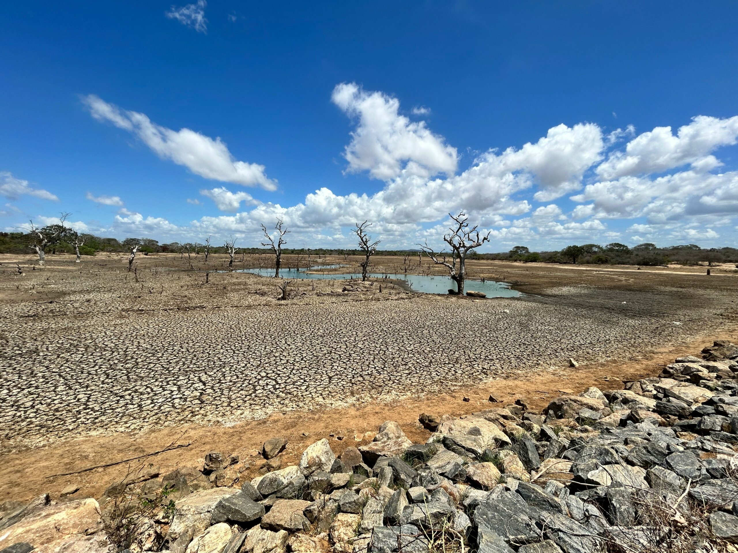
Brussels – The El Niño climate phenomenon is now firmly established in the tropical Pacific and will reach high intensity in the coming months, with a probability of nearly 100 per cent that it will persist at least until February 2027. The alarm has been raised by the World Meteorological Organisation (WMO) in a new official bulletin, announcing a global mobilisation to coordinate early warning systems and mitigate the risks associated with droughts, floods, and abnormal heatwaves.
Scientific data indicate exceptionally high sea surface temperatures in the central-eastern equatorial Pacific. The Niño 3.4 index rose from an average of 1.5 degrees above normal between May and July to over two degrees by the end of summer, while at depth, temperatures were recorded as being up to eight degrees above seasonal averages. This build-up of oceanic heat will fuel the phenomenon until it peaks towards the end of this year, with effects on global atmospheric circulation set to persist well into 2027. “El Niño is taking on colossal proportions before our very eyes. The science leaves no room for doubt: the planet is in uncharted waters, and those waters are warming.”
“Sea surface temperatures are rising, continue to rise and the world finds itself in the danger zone for extreme weather events. The race is now between the growing risks and our commitment to take action on climate change and protect people. “We must win that race,” says the United Nations Secretary-General António Guterres. Although this is a recurring and natural phenomenon that occurs at intervals of between two and seven years, the scale predicted for the coming months is causing concern amongst the leadership of the Geneva-based agency. “This El Niño requires a preparation and a response up to the task,” explained the WMO Secretary-General, Celeste Saulo. “Never before in our history have we launched a mobilisation on this scale with national meteorological services, which are on the front line in providing forecasts to save lives. We have no time to lose.”
The impacts of equatorial warming will not be the same in every geographical area. The WMO highlights how precipitation and temperature patterns will depend on local characteristics and interactions with other ocean basins, starting with the positive temperature anomalies expected in the Atlantic Ocean and the development of the positive phase of the Indian Ocean Dipole. For the autumn quarter, however, global forecast models indicate a clear prevalence of above-normal surface air temperatures across almost the entire landmass. National meteorological and hydrological services have already begun sharing their seasonal analyses with governments and humanitarian organisations, with the aim of taking timely measures to protect water supplies, agricultural production, energy networks, and healthcare facilities from the extreme fluctuations expected in the coming months.
Article produced in collaboration with Agenzia GEA.
English version by the Translation Service of Withub


![Da sinistra: il presidente del Consiglio europeo, Antonio Costa; il presidente dell'Ucraina, Volodymir Zelensky: la presidente della Commissione europea, Ursula von der Leyen [Bruxelles, 18 giugno 2024. Foto: European Council]](https://www.eunews.it/wp-content/uploads/2026/06/euco_ua260618-120x86.jpg)
![[foto: Saverio De Giglio/imagoeconomica]](https://www.eunews.it/wp-content/uploads/2026/10/cpt-120x86.png)